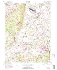
1954 Map of Rocky Hill
USGS Topo · Published 1972About this map
Sour Land Mountain dominates the western topography of this Somerset County landscape, while the Millstone River and the parallel Delaware and Raritan Canal define its eastern edge. This postwar survey, updated in the early 1970s, documents a region defined by institutional land use and emerging infrastructure. Significant acreage is occupied by the U S Military Reservation (Belle Mead General Depot) and the sprawling New Jersey Neuropsychiatric Institute near Skillman.
Find a feature on this map
53 named features on this map. Tap any name to fly to it.
Don’t see what you’re looking for? This feature index may not catch every label — zoom into the map to look around manually.
Map Details
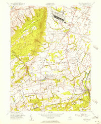
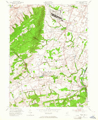
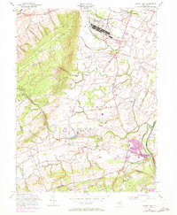
Editions of this 1954 Rocky Hill Map
4 editions found
Other maps of this area

1888 · Princeton
USGS Topo · 1:62,500

1890 · High Bridge
USGS Topo · 1:62,500

1890 · Lambertville
USGS Topo · 1:62,500

1891 · Somerville
USGS Topo · 1:62,500

1891 · Lambertville
USGS Topo · 1:62,500

1893 · Somerville
USGS Topo · 1:62,500

1894 · Princeton
USGS Topo · 1:62,500

1894 · Lambertville
USGS Topo · 1:62,500

1898 · High Bridge
USGS Topo · 1:62,500

1898 · Somerville
USGS Topo · 1:62,500
Featured Places
- Franklin Township, NJ
- Hillsborough Township, NJ
- Montgomery Township, NJ
- Hopewell Township, NJ
- Princeton, NJ