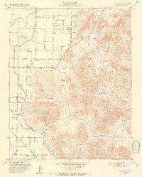
1951 Map of Rocky Hill
USGS Topo · Published 1952About this map
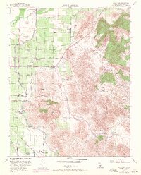
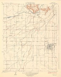
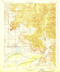
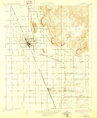
Yokohl Valley serves as a central corridor in this mid-century portrait of Tulare County, where the transition from river bottom to foothills is marked by an extensive network of hydraulic engineering. The Kaweah River is managed through a complex system of levees, the Consolidated Peoples Ditch, and several siphons, supporting the agricultural life of Lindcove and Merryman. Transportation is equally dense, featuring the Visalia Electric RR and the Atchison Topeka and Santa Fe Railway skirting the base of the hills.
Find a feature on this map
49 named features on this map. Tap any name to fly to it.
Don’t see what you’re looking for? This feature index may not catch every label — zoom into the map to look around manually.
Map Details
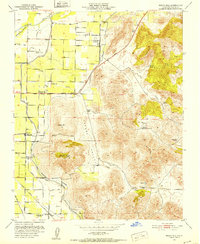
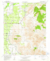
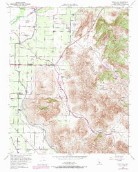
Editions of this 1951 Rocky Hill Map
5 editions found
Other maps of this area

1904 · Kaweah
USGS Topo · 1:125,000

1909 · Kaweah
USGS Topo · 1:125,000

1925 · Rocky Hill
USGS Topo · 1:31,680

1926 · Ivanhoe
USGS Topo · 1:31,680
1926 · Exeter
USGS Topo · 1:31,680
1927 · Cairns Corner
USGS Topo · 1:31,680
1927 · Rocky Hill
USGS Topo · 1:31,680
1928 · Lemon Cove
USGS Topo · 1:31,680
1928 · Lindsay
USGS Topo · 1:31,680

1937 · Kaweah
USGS Topo · 1:125,000