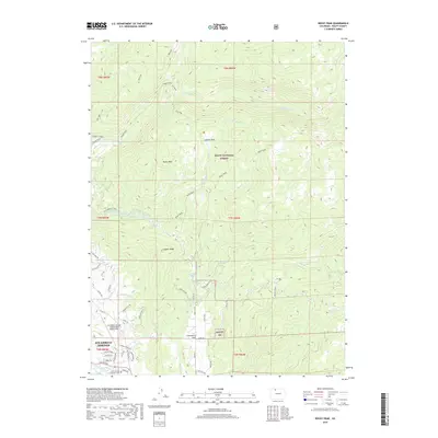
2019 Map of Rocky Peak
USGS Topo · Published 2019About this map
Steamboat Springs serves as the focal point of this Northwest Colorado survey, which details the northern extent of the city and its surrounding high-altitude terrain. The map follows the northern flow of the Yampa River and the development of the city's infrastructure, including the Steamboat Springs Airport/Bob Adams Field and the Routt County Combined Court. The landscape transitions from urban residential streets like Lincoln Ave and Copper Ridge Rd into the expansive Routt National Forest.
Find a feature on this map
60 named features on this map. Tap any name to fly to it.
Don’t see what you’re looking for? This feature index may not catch every label — zoom into the map to look around manually.
Map Details
Editions of this 2019 Rocky Peak Map
This is the sole edition of this map. No revisions or reprints were ever made.
Other maps of this area

1911 · Hahns Peak
USGS Topo · 1:125,000

1913 · Hahns Peak
USGS Topo · 1:125,000

1954 · Craig
USGS Topo · 1:250,000

1955 · Buffalo Pass
USGS Topo · 1:24,000

1955 · Mount Ethel
USGS Topo · 1:24,000

1955 · Mount Ethel
USGS Topo · 1:62,500

1956 · Storm Mountain
USGS Topo · 1:24,000

1956 · Rabbit Ears Peak
USGS Topo · 1:62,500

1957 · Craig
USGS Topo · 1:250,000

1958 · Craig
USGS Topo · 1:250,000