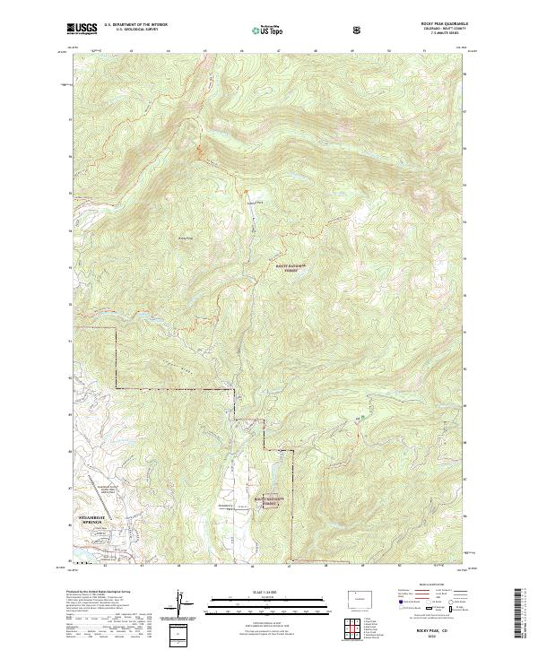
2022 Map of Rocky Peak
USGS Topo · Published 2022About this map
Steamboat Springs serves as the focal point of this northern Colorado landscape, where the Yampa River flows past the Routt County Combined Court. The terrain climbs sharply toward the Routt National Forest, which dominates the northern half of the sheet with its complex network of drainage basins including Mad Cr and S Fork Soda Cr. The map details the local irrigation and thermal features that define the area's geography, such as the Hot Springs Highline Ditch and the Routt Hot Springs nestled in the mountainside. Residential growth is evident in the valley near Strawberry Park and along Copper Ridge, while the Steamboat Springs Airport/Bob Adams Field provides a critical transportation link for this mountain community. The prominence of named trails like the Bear Creek Trl suggests a landscape deeply utilized for recreation and access into the higher elevations surrounding Rocky Peak.
Find a feature on this map
57 named features on this map. Tap any name to fly to it.
Don’t see what you’re looking for? This feature index may not catch every label — zoom into the map to look around manually.
Map Details
Editions of this 2022 Rocky Peak Map
This is the sole edition of this map. No revisions or reprints were ever made.
Other maps of this area

1911 · Hahns Peak
USGS Topo · 1:125,000

1913 · Hahns Peak
USGS Topo · 1:125,000

1954 · Craig
USGS Topo · 1:250,000

1955 · Buffalo Pass
USGS Topo · 1:24,000

1955 · Mount Ethel
USGS Topo · 1:24,000

1955 · Mount Ethel
USGS Topo · 1:62,500

1956 · Storm Mountain
USGS Topo · 1:24,000

1956 · Rabbit Ears Peak
USGS Topo · 1:62,500

1957 · Craig
USGS Topo · 1:250,000

1958 · Craig
USGS Topo · 1:250,000