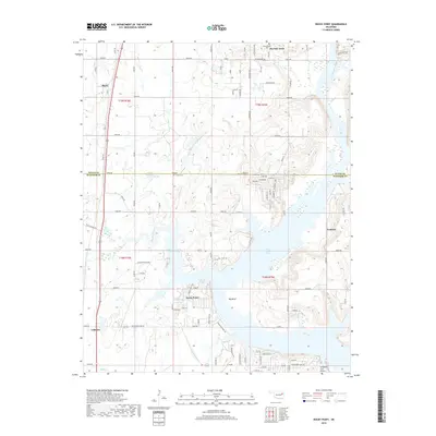
2018 Map of Rocky Point
USGS Topo · Published 2018About this map
Fort Gibson Lake dominates the central landscape of this Oklahoma quadrangle, where the waters of Flat Rock Creek and Spring Creek converge at the Big Bend. This 2018 survey reveals a modern distribution of residential developments and rural infrastructure along the Mayes and Wagoner County line. The settlement pattern is characterized by scattered lakeside communities and specialized facilities like the Whitehorn Cove Airport, while older legacy markers such as Union Mission Cem and Fisher Cem offer a glimpse into the earlier pioneer history of the region.
Find a feature on this map
71 named features on this map. Tap any name to fly to it.
Don’t see what you’re looking for? This feature index may not catch every label — zoom into the map to look around manually.
Map Details
Editions of this 2018 Rocky Point Map
This is the sole edition of this map. No revisions or reprints were ever made.
Other maps of this area

1896 · Pryor
USGS Topo · 1:125,000

1901 · Muscogee
USGS Topo · 1:125,000

1901 · Pryor
USGS Topo · 1:125,000

1905 · Muscogee
USGS Topo · 1:125,000

1946 · Fort Smith
USGS Topo · 1:250,000

1948 · Hulbert
USGS Topo · 1:62,500

1948 · Wagoner
USGS Topo · 1:62,500

1950 · Wagoner
USGS Topo · 1:62,500

1950 · Hulbert
USGS Topo · 1:62,500

1954 · Tulsa
USGS Topo · 1:250,000