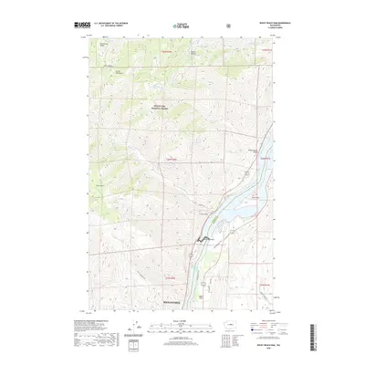
2020 Map of Rocky Reach Dam
USGS Topo · Published 2020About this map
The Rocky Reach Dam anchors this stretch of the Columbia River, creating the expansive Lake Entiat and defining the modern hydraulic landscape of Central Washington. This 2020 survey illustrates the sharp division between the irrigated valley floors near Baker Flats and the high, arid peaks of the Entiat Mountains. Much of the western terrain is protected within the Wenatchee National Forest, where topography rises steeply toward Burch Mtn and Dinkelman Ridge.
Find a feature on this map
31 named features on this map. Tap any name to fly to it.
Don’t see what you’re looking for? This feature index may not catch every label — zoom into the map to look around manually.
Map Details
Editions of this 2020 Rocky Reach Dam Map
This is the sole edition of this map. No revisions or reprints were ever made.
Other maps of this area

1901 · Chelan
USGS Topo · 1:125,000

1912 · Malaga
USGS Topo · 1:48,000

1913 · Wenatchee
USGS Topo · 1:62,500

1914 · Malaga
USGS Topo · 1:62,500

1915 · Wenatchee
USGS Topo · 1:62,500

1920 · Colockum Pass
USGS Topo · 1:125,000

1922 · Colockum Pass
USGS Topo · 1:125,000

1957 · Wenatchee
USGS Topo · 1:250,000

1966 · Rock Island
USGS Topo · 1:24,000

1966 · Wenatchee
USGS Topo · 1:24,000