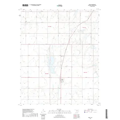
2018 Map of Rocky
USGS Topo · Published 2018About this map
Rocky serves as the central hub of this Washita County landscape, where the intersection of state highways and a grid of rural section roads define the local geography. The town is anchored by its Po and a small residential core along Main St and Means St. The surrounding countryside is dominated by the management of water resources, most notably the significant expanse of Lake Hobart fed by Little Elk Cr. To the east, a sequence of smaller catchments including Cavalry Cr Watershed 12 Reservoir and Cavalry Cr Watershed 8 Reservoir illustrates the systematic approach to erosion control and irrigation in this plains environment. For those researching local heritage, the map identifies the Lone Star Cem north of town and Liberty Bell Cem to the northwest, providing exact coordinates for these family and community landmarks.
Find a feature on this map
40 named features on this map. Tap any name to fly to it.
Don’t see what you’re looking for? This feature index may not catch every label — zoom into the map to look around manually.
Map Details
Editions of this 2018 Rocky Map
This is the sole edition of this map. No revisions or reprints were ever made.
Other maps of this area

1955 · Clinton
USGS Topo · 1:250,000

1956 · Cordell
USGS Topo · 1:62,500

1957 · Clinton
USGS Topo · 1:250,000

1957 · Dill City
USGS Topo · 1:62,500

1961 · Gotebo
USGS Topo · 1:62,500

1961 · Hobart
USGS Topo · 1:62,500

1976 · Dill City SE
USGS Topo · 1:24,000

1983 · Dill City
USGS Topo · 1:24,000
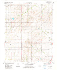
1983 · Dill City SE
USGS Topo · 1:24,000
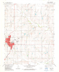
1983 · Cordell
USGS Topo · 1:24,000