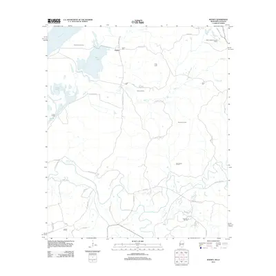
2012 Map of Rodney
USGS Topo · Published 2012About this map
The Mississippi River floodplain and its surrounding bluffs dominate this landscape, where the settlement of Rodney and the historic Rodney Landing sit near the water’s edge. The terrain is defined by a complex network of bayous and creeks, including the winding paths of Coles Cr and Dowd Cr. This 2012 survey illustrates a region where local industry and ancestral sites exist side-by-side. Numerous cemeteries such as Rodney Cem, Laurel Hill Cem, and Logan Cem are scattered across the higher ground, providing valuable location data for genealogists.
Find a feature on this map
50 named features on this map. Tap any name to fly to it.
Don’t see what you’re looking for? This feature index may not catch every label — zoom into the map to look around manually.
Map Details
Editions of this 2012 Rodney Map
This is the sole edition of this map. No revisions or reprints were ever made.
Other maps of this area

1909 · Delta Bridge
USGS Topo · 1:24,000

1909 · Lake Bruen
USGS Topo · 1:24,000

1921 · Natchez
USGS Topo · 1:48,000

1922 · Natchez
USGS Topo · 1:62,500

1939 · Lorman
USGS Topo · 1:62,500

1939 · Natchez
USGS Topo · 1:62,500

1939 · Locust Ridge
USGS Topo · 1:62,500

1953 · Natchez
USGS Topo · 1:250,000

1956 · Natchez
USGS Topo · 1:250,000

1958 · St. Joseph
USGS Topo · 1:62,500