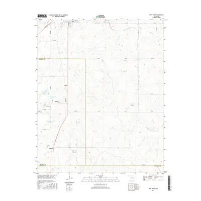
2016 Map of Roff South
USGS Topo · Published 2016About this map
Blue River and its numerous tributaries, including Limestone Cr and Little W Blue Cr, carve through this section of the Arbuckle Mountains region. This 2016 survey highlights a rural landscape defined by ranching and small communities at the intersection of Pontotoc, Murray, and Johnston counties. The map records several established settlements such as Roff and Hickory, alongside smaller locales like Denny and Scullin.
Find a feature on this map
41 named features on this map. Tap any name to fly to it.
Don’t see what you’re looking for? This feature index may not catch every label — zoom into the map to look around manually.
Map Details
Editions of this 2016 Roff South Map
This is the sole edition of this map. No revisions or reprints were ever made.
Other maps of this area

1901 · Stonewall
USGS Topo · 1:125,000

1901 · Tishomingo
USGS Topo · 1:125,000

1957 · Ardmore
USGS Topo · 1:250,000

1963 · Ardmore
USGS Topo · 1:250,000

1963 · Sulphur South
USGS Topo · 1:24,000

1963 · Mill Creek
USGS Topo · 1:24,000

1967 · Roff South
USGS Topo · 1:24,000

1967 · Ahloso
USGS Topo · 1:24,000

1967 · Connerville
USGS Topo · 1:24,000

1967 · Roff North
USGS Topo · 1:24,000