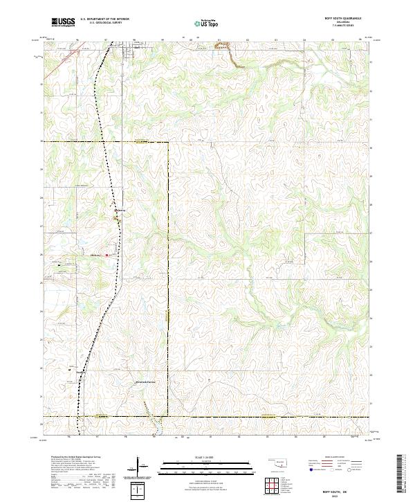
2022 Map of Roff South
USGS Topo · Published 2022About this map
The Blue River and its numerous tributaries, including Limestone Cr and Little W Blue Cr, carve a complex drainage pattern across this section of the Arbuckle Mountains region. The map captures the convergence of three Oklahoma counties — Pontotoc, Murray, and Johnston — a junction defined by winding rural roads and small agricultural settlements. Small communities and named locales like Scullin and Hickory serve as local anchors, each maintained by its respective burying ground, the Scullin Cem and Hickory Cem. The modern infrastructure of the Chickasaw Tpke cuts through the northwest corner, providing a stark contrast to the legacy township and range boundaries that still govern the property lines of large holdings like Winrock Farms. This landscape reflects a long history of cattle ranching and rural habitation where the terrain and water sources dictated the placement of homesteads and the naming of local landmarks.
Find a feature on this map
43 named features on this map. Tap any name to fly to it.
Don’t see what you’re looking for? This feature index may not catch every label — zoom into the map to look around manually.
Map Details
Editions of this 2022 Roff South Map
This is the sole edition of this map. No revisions or reprints were ever made.
Other maps of this area

1901 · Stonewall
USGS Topo · 1:125,000

1901 · Tishomingo
USGS Topo · 1:125,000

1957 · Ardmore
USGS Topo · 1:250,000

1963 · Ardmore
USGS Topo · 1:250,000

1963 · Sulphur South
USGS Topo · 1:24,000

1963 · Mill Creek
USGS Topo · 1:24,000

1967 · Roff South
USGS Topo · 1:24,000

1967 · Ahloso
USGS Topo · 1:24,000

1967 · Connerville
USGS Topo · 1:24,000

1967 · Roff North
USGS Topo · 1:24,000