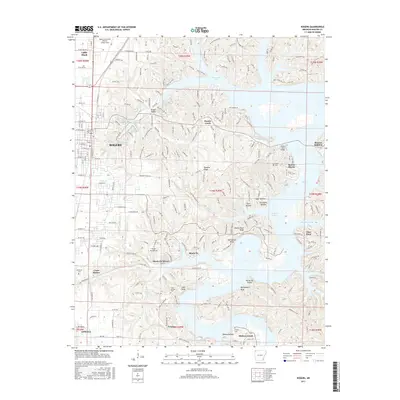
2017 Map of Rogers
USGS Topo · Published 2017About this map
Rogers and its surrounding communities in the Ozark Plateau are defined by the winding eastern shoreline of Beaver Lake. The map details the transition from the city's established grid to the lake-oriented developments of Monte Ne Shores, Beaver Shores, and Prairie Creek. Historic sites like Monte Ne stand near the water's edge, reflecting the area's legacy as a resort destination before the valley was flooded.
Find a feature on this map
125 named features on this map. Tap any name to fly to it.
Don’t see what you’re looking for? This feature index may not catch every label — zoom into the map to look around manually.
Map Details
Editions of this 2017 Rogers Map
This is the sole edition of this map. No revisions or reprints were ever made.
Other maps of this area

1899 · Fayetteville
USGS Topo · 1:125,000

1900 · Eureka Springs
USGS Topo · 1:125,000

1901 · Eureka Springs
USGS Topo · 1:125,000

1901 · Fayetteville
USGS Topo · 1:125,000

1904 · Fayetteville
USGS Topo · 1:125,000

1945 · Harrison
USGS Topo · 1:250,000

1949 · Harrison
USGS Topo · 1:250,000

1954 · Harrison
USGS Topo · 1:250,000

1954 · Tulsa
USGS Topo · 1:250,000

1957 · War Eagle
USGS Topo · 1:24,000