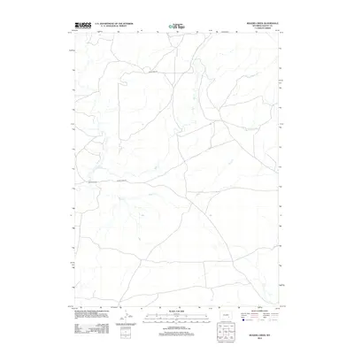
2012 Map of Rogers Creek
USGS Topo · Published 2012About this map
Atkinson Ranch stands as a focal point in this portion of Albany County, representing the long-standing ranching traditions of the Wyoming landscape. The terrain is defined by the drainage patterns of Mule Cr and Rogers Cr, which snake across the territory. This 2012 survey illustrates a sparse network of infrastructure that supports local agricultural operations, primarily linked by Mule Creek Rd and Sheep Creek Rd. The proximity of these watercourses to the ranching homestead suggests a strategic settlement pattern based on the availability of water in a semi-arid region. As a contemporary topographic record, it provides a precise view of the geographic relationships between private ranch lands and the natural drainage systems that have dictated land use in this part of the state for generations.
Find a feature on this map
5 named features on this map. Tap any name to fly to it.
Don’t see what you’re looking for? This feature index may not catch every label — zoom into the map to look around manually.
Map Details
Editions of this 2012 Rogers Creek Map
This is the sole edition of this map. No revisions or reprints were ever made.
Other maps of this area

1954 · Torrington
USGS Topo · 1:250,000

1958 · Torrington
USGS Topo · 1:250,000

1964 · Toltec
USGS Topo · 1:24,000
1964 · Pass Creek
USGS Topo · 1:24,000

1964 · Marshall
USGS Topo · 1:24,000

1968 · Cottonwood Creek
USGS Topo · 1:24,000
1968 · Boot Heel
USGS Topo · 1:24,000
1968 · Greasewood Knoll
USGS Topo · 1:24,000
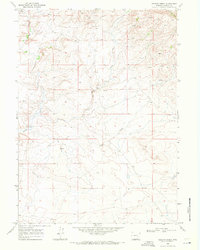
1968 · Rogers Creek
USGS Topo · 1:24,000
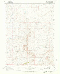
1968 · Boot Heel SE
USGS Topo · 1:24,000