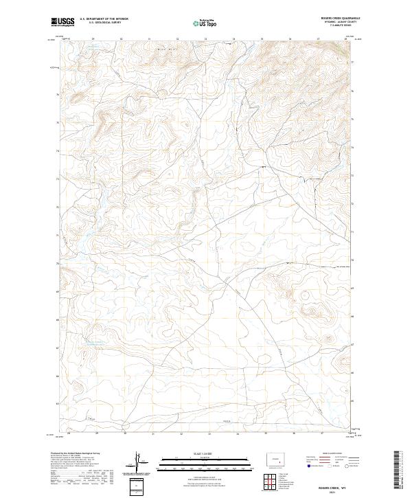
2021 Map of Rogers Creek
USGS Topo · Published 2021About this map
Mine Hills dominates the northern landscape of this Albany County region, where the high-altitude terrain is defined by its water management and sparse ranching infrastructure. This 2021 survey reveals a network of seasonal drainages and man-made catchments, including the Wellbaum Reservoir in the northwest and the Grazing Number 1 Stock Reservoir further south. The drainage patterns of Mule Cr and Rogers Cr carve through the land, illustrating how water is funneled through this arid environment. Transportation is limited to rugged corridors like Co Rd 64, Co Rd 64A, and Tower Rd, which provide access to the vast grazing allotments and mining prospects of the Laramie Mountains area.
Find a feature on this map
12 named features on this map. Tap any name to fly to it.
Don’t see what you’re looking for? This feature index may not catch every label — zoom into the map to look around manually.
Map Details
Editions of this 2021 Rogers Creek Map
This is the sole edition of this map. No revisions or reprints were ever made.
Other maps of this area

1954 · Torrington
USGS Topo · 1:250,000

1958 · Torrington
USGS Topo · 1:250,000

1964 · Toltec
USGS Topo · 1:24,000
1964 · Pass Creek
USGS Topo · 1:24,000

1964 · Marshall
USGS Topo · 1:24,000

1968 · Cottonwood Creek
USGS Topo · 1:24,000
1968 · Boot Heel
USGS Topo · 1:24,000
1968 · Greasewood Knoll
USGS Topo · 1:24,000
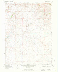
1968 · Rogers Creek
USGS Topo · 1:24,000
1968 · Boot Heel SE
USGS Topo · 1:24,000