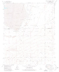
1973 Map of Rogers Lake South
USGS Topo · Published 1976About this map
Rogers Lake and the high-desert terrain of the Edwards Air Force Base define this 1970s landscape on the border of Kern and Los Angeles counties. The map documents the extensive infrastructure of the Air Force Flight Test Center, featuring a specialized Low Altitude Speed Course and various technical installations including a Tracking Station and a Radio Facility.
Find a feature on this map
24 named features on this map. Tap any name to fly to it.
Don’t see what you’re looking for? This feature index may not catch every label — zoom into the map to look around manually.
Map Details
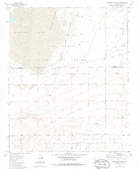
Editions of this 1973 Rogers Lake South Map
2 editions found
Other maps of this area

1930 · Joshua
USGS Topo · 1:24,000

1931 · Hi Vista
USGS Topo · 1:24,000

1934 · Joshua
USGS Topo · 1:24,000

1935 · Hi Vista
USGS Topo · 1:24,000

1937 · Shadow Mountains
USGS Topo · 1:48,000

1937 · Kramer
USGS Topo · 1:48,000

1937 · Rogers Lake
USGS Topo · 1:48,000

1942 · Kramer
USGS Topo · 1:62,500

1942 · Shadow Mountains
USGS Topo · 1:62,500

1942 · Rogers Lake
USGS Topo · 1:62,500