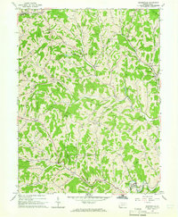
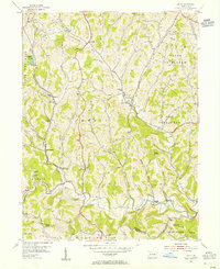
1964 Map of Rogersville
USGS Topo · Published 1965About this map
Rogersville serves as the focal point of this Greene County landscape, situated where South Fork Tenmile Creek meets Lightner Run. The mid-1960s terrain is heavily marked by the energy industry, with numerous Gas Wells, Oil Wells, and several Pipelines traversing the ridges and valleys between Nineveh and Rutan. This industrial presence contrasts with the region's rural foundations, evidenced by the presence of a Covered Bridge on the South Fork and established spiritual centers like Beulah Ch and Hopewell Ch.
Find a feature on this map
49 named features on this map. Tap any name to fly to it.
Don’t see what you’re looking for? This feature index may not catch every label — zoom into the map to look around manually.
Map Details
Editions of this 1964 Rogersville Map
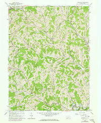
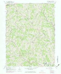
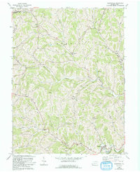
4 editions found
Other maps of this area

1901 · Amity
USGS Topo · 1:62,500

1901 · Waynesburg
USGS Topo · 1:62,500

1904 · Amity
USGS Topo · 1:62,500

1904 · Waynesburg
USGS Topo · 1:62,500

1905 · Rogersville
USGS Topo · 1:62,500

1907 · Claysville
USGS Topo · 1:62,500

1949 · Clarksburg
USGS Topo · 1:250,000

1951 · Canton
USGS Topo · 1:250,000

1953 · Canton
USGS Topo · 1:250,000
1954 · Amity
USGS Topo · 1:24,000