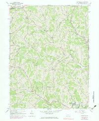
1964 Map of Rogersville
USGS Topo · Published 1983About this map
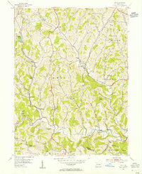
Morris and Center townships define this landscape of winding creek valleys and ridges in the mid-1960s. The settlement of Rogersville serves as a local hub near the confluence of Lightner Run and the South Fork Tenmile Creek, where a Covered Bridge and a Compressor Station speak to both traditional infrastructure and the region's energy economy. Numerous gas wells and a Strip Mine are scattered across the hills, indicating the importance of resource extraction to the area's development.
Find a feature on this map
45 named features on this map. Tap any name to fly to it.
Don’t see what you’re looking for? This feature index may not catch every label — zoom into the map to look around manually.
Map Details
Editions of this 1964 Rogersville Map
4 editions found
Other maps of this area

1901 · Amity
USGS Topo · 1:62,500

1901 · Waynesburg
USGS Topo · 1:62,500

1904 · Amity
USGS Topo · 1:62,500

1904 · Waynesburg
USGS Topo · 1:62,500

1905 · Rogersville
USGS Topo · 1:62,500

1907 · Claysville
USGS Topo · 1:62,500

1949 · Clarksburg
USGS Topo · 1:250,000

1951 · Canton
USGS Topo · 1:250,000

1953 · Canton
USGS Topo · 1:250,000
1954 · Amity
USGS Topo · 1:24,000