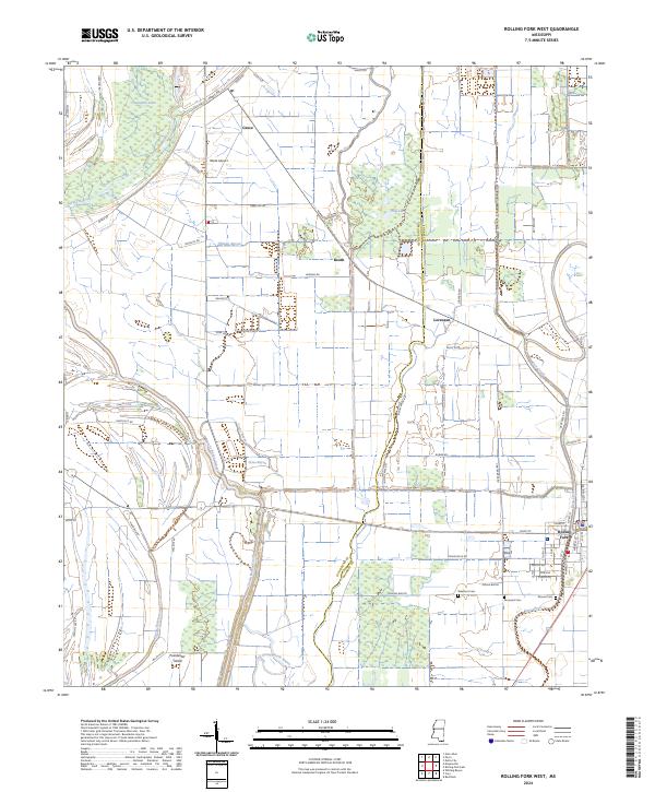
2024 Map of Rolling Fork West
USGS Topo · Published 2024About this map
Rolling Fork sits at the eastern edge of this Mississippi Delta landscape, where the alluvial plain is defined by a complex network of bayous and slow-moving waterways. The western reaches of the town are mapped alongside the winding paths of Deer Creek and the extensive Steele Bayou system. This 2024 survey captures the rural character of Issaquena and Sharkey counties, where small agricultural settlements like Grace, Booth, and Lorenzen are linked by a grid of farm-to-market roads such as Grace Rd and Mahalite Rd. Genealogists will find several notable burial sites preserved in the landscape, including Elmwood Cem, Mound Cem, and Weathers Cem, providing important markers for local family history research. Between the drainages of Gross Bayou and Indian Bayou, the map reveals the persistent geography of Poindexter Island and the local aviation hub at Wade Airport.
Find a feature on this map
59 named features on this map. Tap any name to fly to it.
Don’t see what you’re looking for? This feature index may not catch every label — zoom into the map to look around manually.
Map Details
Editions of this 2024 Rolling Fork West Map
This is the sole edition of this map. No revisions or reprints were ever made.
Other maps of this area

1909 · Wilsons Point
USGS Topo · 1:24,000

1913 · Wilson Point
USGS Topo · 1:31,680

1939 · Lorenzen
USGS Topo · 1:62,500

1939 · Readland
USGS Topo · 1:62,500

1939 · Mayersville
USGS Topo · 1:62,500

1939 · Swan Lake
USGS Topo · 1:62,500

1953 · Greenwood
USGS Topo · 1:250,000

1955 · Jackson
USGS Topo · 1:250,000

1956 · Greenwood
USGS Topo · 1:250,000

1961 · Jackson
USGS Topo · 1:250,000