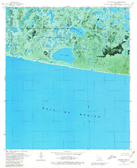
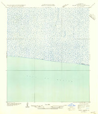
1979 Map of Rollover Lake
USGS Topo · Published 1980About this map
The Rockefeller State Wildlife Refuge and Game Preserve dominates this coastal landscape along the Gulf of Mexico, where a complex network of wetlands and open water transitions into the sea. The 1970s terrain is defined by tidal influence and hydrological management, visible in features like the Dam near Rollover Lake and the straight line of Dyson Ditch in the eastern reaches. This orthophotomap provides a clear view of the shifting marshlands, where Flat Lake and the dual basins of East Constance Lake and Big Constance Lake serve as critical habitats within the refuge boundaries. Human presence is concentrated at the Refuge Camp and near the Pipeline Area, while the rest of the quadrangle remains a domain of winding waterways like Pigeon Bayou and North Bayou. The map captures the delicate interface of the Vermilion and Cameron Parish line as it existed before decades of coastal erosion and rising tides altered the southern shoreline.
Find a feature on this map
18 named features on this map. Tap any name to fly to it.
Don’t see what you’re looking for? This feature index may not catch every label — zoom into the map to look around manually.
Map Details
Editions of this 1979 Rollover Lake Map
2 editions found
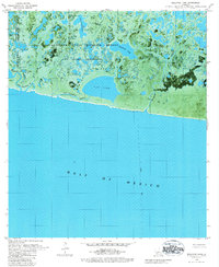
Other maps of this area

1932 · Constance Bayou NE
USGS Topo · 1:31,680

1932 · Constance Bayou SW
USGS Topo · 1:31,680

1932 · Pecan Island SW
USGS Topo · 1:31,680

1932 · Constance Bayou SE
USGS Topo · 1:31,680

1932 · Constance Bayou NW
USGS Topo · 1:31,680

1945 · Pecan Island NW
USGS Topo · 1:31,680

1951 · Pecan Island
USGS Topo · 1:62,500
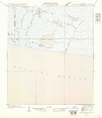
1954 · Constance Bayou SE
USGS Topo · 1:31,680
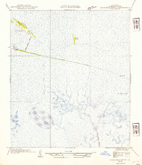
1954 · Constance Bayou NW
USGS Topo · 1:31,680
1954 · Pecan Island SW
USGS Topo · 1:31,680