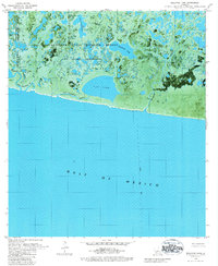
1979 Map of Rollover Lake
USGS Topo · Published 1984About this map
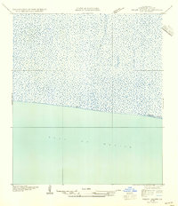
The Rockefeller State Wildlife Refuge and Game Preserve dominates this coastal landscape, protecting a complex network of brackish marshes and tidal waters along the Gulf of Mexico. This 1970s orthophotomap provides a visual record of the shoreline before decades of significant coastal change, showing the intricate relationship between open water bodies like Rollover Lake and Flat Lake and the meandering channels of Rollover Bayou and Pigeon Bayou.
Find a feature on this map
18 named features on this map. Tap any name to fly to it.
Don’t see what you’re looking for? This feature index may not catch every label — zoom into the map to look around manually.
Map Details
Editions of this 1979 Rollover Lake Map
2 editions found
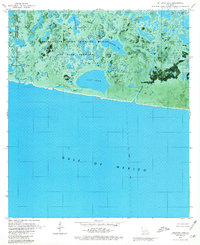
Other maps of this area

1932 · Constance Bayou NE
USGS Topo · 1:31,680

1932 · Constance Bayou SW
USGS Topo · 1:31,680

1932 · Pecan Island SW
USGS Topo · 1:31,680

1932 · Constance Bayou SE
USGS Topo · 1:31,680

1932 · Constance Bayou NW
USGS Topo · 1:31,680

1945 · Pecan Island NW
USGS Topo · 1:31,680

1951 · Pecan Island
USGS Topo · 1:62,500
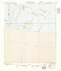
1954 · Constance Bayou SE
USGS Topo · 1:31,680
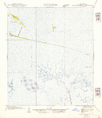
1954 · Constance Bayou NW
USGS Topo · 1:31,680
1954 · Pecan Island SW
USGS Topo · 1:31,680