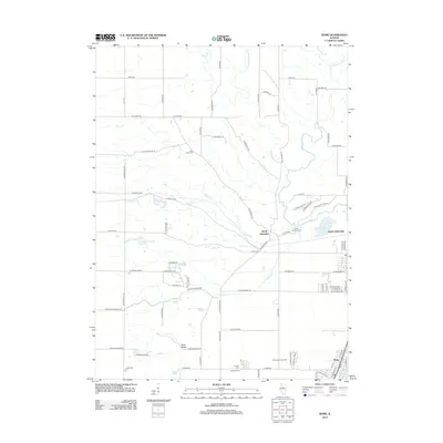
2012 Map of Rome
USGS Topo · Published 2012About this map
North Hampton and North Chillicothe anchor this modern survey of Peoria County, where the landscape transitions from the agricultural uplands of Blue Ridge toward the waters of Upper Peoria Lake. The map reveals a high concentration of small family and community burial grounds, including Blue Ridge Cem, North Hampton Cem, La Salle Cem, and Mooney Cem, which offer significant value for genealogical research in this Illinois River valley region.
Find a feature on this map
57 named features on this map. Tap any name to fly to it.
Don’t see what you’re looking for? This feature index may not catch every label — zoom into the map to look around manually.
Map Details
Editions of this 2012 Rome Map
This is the sole edition of this map. No revisions or reprints were ever made.
Other maps of this area

1893 · Lacon
USGS Topo · 1:62,500

1893 · Metamora
USGS Topo · 1:62,500

1893 · Dunlap
USGS Topo · 1:62,500

1898 · Dunlap
USGS Topo · 1:62,500

1932 · Dunlap
USGS Topo · 1:62,500

1933 · Dunlap
USGS Topo · 1:62,500

1933 · Lacon
USGS Topo · 1:62,500

1933 · Camp Grove
USGS Topo · 1:48,000

1937 · Metamora
USGS Topo · 1:62,500

1937 · Dunlap
USGS Topo · 1:62,500