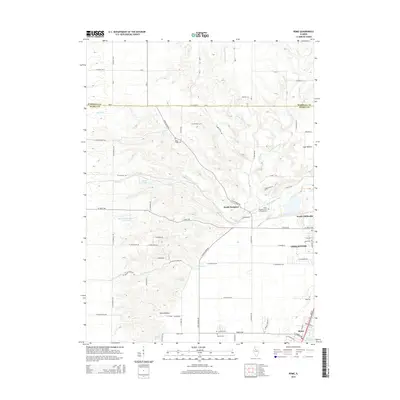
2015 Map of Rome
USGS Topo · Published 2015About this map
The Illinois River valley south of Chillicothe is defined by its transition from the steep bluffs of Coal Hollow and Hicks Hollow to the expanding waters of Upper Peoria Lake. This 2015 update documents the interface between established riverfront communities like Rome and the agricultural plateaus of Marshall and Peoria counties. Historically significant sites are preserved in the landscape, including Blue Ridge Cem, North Hampton Cem, and La Salle Cem. Water remains the central geographic feature, with the complex drainage systems of Henry Cr, Senachwine Creek, and Hallock Cr carving the terrain between North Hampton and the suburban reaches of North Chillicothe. Inland bodies like Santa Fe Lake and Arrowhead Country Club Lake reflect modern land use alongside traditional hollows and creek beds.
Find a feature on this map
61 named features on this map. Tap any name to fly to it.
Don’t see what you’re looking for? This feature index may not catch every label — zoom into the map to look around manually.
Map Details
Editions of this 2015 Rome Map
This is the sole edition of this map. No revisions or reprints were ever made.
Other maps of this area

1893 · Lacon
USGS Topo · 1:62,500

1893 · Metamora
USGS Topo · 1:62,500

1893 · Dunlap
USGS Topo · 1:62,500

1898 · Dunlap
USGS Topo · 1:62,500

1932 · Dunlap
USGS Topo · 1:62,500

1933 · Dunlap
USGS Topo · 1:62,500

1933 · Lacon
USGS Topo · 1:62,500

1933 · Camp Grove
USGS Topo · 1:48,000

1937 · Metamora
USGS Topo · 1:62,500

1937 · Dunlap
USGS Topo · 1:62,500