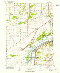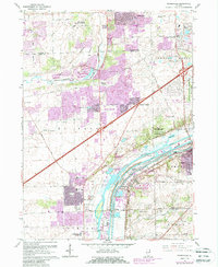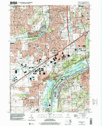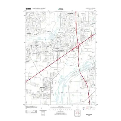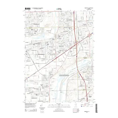
1993 Map of Romeoville
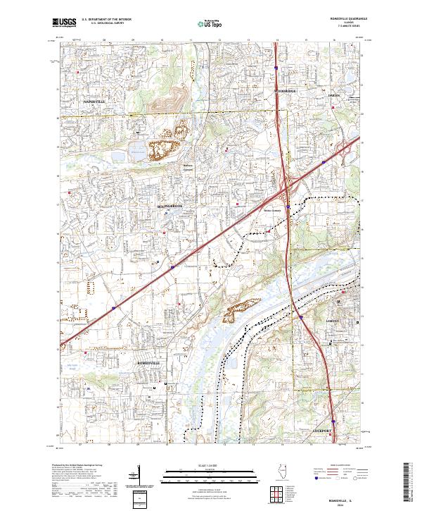
USGS Topo · Published 1994About this map
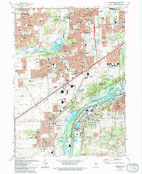
The Des Plaines River corridor serves as the industrial and logistical spine of this region during the early 1990s, where the Chicago Sanitary and Ship Canal runs parallel to heavy rail lines. Large-scale extraction is evident in the numerous quarries and gravel pits that dot the landscape near Romeoville and Lemont. This era shows a landscape in rapid transition, with residential expansion pushing south from Naperville and Woodridge into the open spaces of the Green Valley County Forest Preserve.
Find a feature on this map
128 named features on this map. Tap any name to fly to it.
Don’t see what you’re looking for? This feature index may not catch every label — zoom into the map to look around manually.
Map Details
Editions of this 1993 Romeoville Map
This is the sole edition of this map. No revisions or reprints were ever made.
Historical Maps of Naperville Through Time
9 maps found