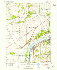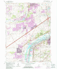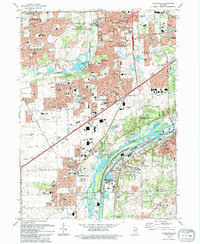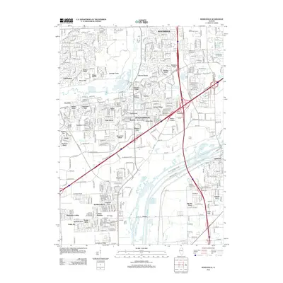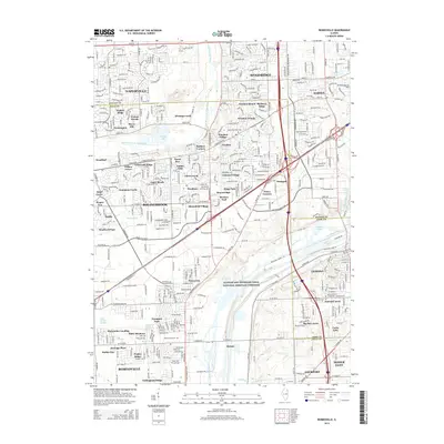
1998 Map of Romeoville
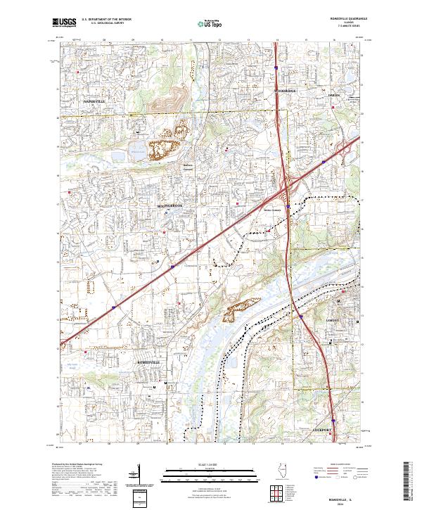
USGS Topo · Published 2002About this map
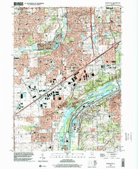
The Sanitary and Ship Canal and the parallel Ship Canal dominate the southern landscape, marking a heavy industrial corridor where the Des Plaines River flows toward Lockport. This late-twentieth-century environment is defined by its transit infrastructure, from the Atchison Topeka and Santa Fe RR to the busy Stevenson Expressway. The transition from rural to suburban is visible in the clusters of schools and subdivisions around Romeoville and Bolingbrook, contrasted with massive extractive operations like the Quarries near Lemont.
Find a feature on this map
98 named features on this map. Tap any name to fly to it.
Don’t see what you’re looking for? This feature index may not catch every label — zoom into the map to look around manually.
Map Details
Editions of this 1998 Romeoville Map
This is the sole edition of this map. No revisions or reprints were ever made.
Historical Maps of Naperville Through Time
9 maps found