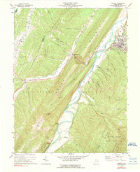
1973 Map of Romney
USGS Topo · Published 1975About this map
Romney sits on the eastern bank of the South Branch Potomac River, serving as a central hub in the ridge-and-valley landscape of the West Virginia panhandle. The Baltimore and Ohio railroad corridor follows the river's winding path, connecting the settlements of Pancake, Johnson, and Mechanicsburg along the valley floor. To the west, the Mineral Co Hampshire Co line traverses Cabin Run Mountain, separating the Patterson Creek drainage from the rugged interior peaks of Mill Creek Mountain. Local heritage is anchored by rural landmarks such as Beaver Run Ch and Trinity Ch, while the southern reaches are dominated by the Nathaniel Mountain Public Hunting Area. This survey documents the mid-1970s infrastructure of the region, including the Filtration Plant and Sewage Disposal facilities supporting the growing population center at Romney.
Find a feature on this map
41 named features on this map. Tap any name to fly to it.
Don’t see what you’re looking for? This feature index may not catch every label — zoom into the map to look around manually.
Map Details
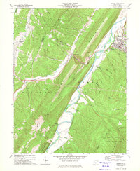
Editions of this 1973 Romney Map
2 editions found
Other maps of this area

1891 · Romney
USGS Topo · 1:125,000

1920 · Moorefield
USGS Topo · 1:62,500

1920 · Keyser
USGS Topo · 1:62,500

1921 · Keyser
USGS Topo · 1:48,000

1921 · Hanging Rock
USGS Topo · 1:48,000

1921 · Moorefield
USGS Topo · 1:48,000

1922 · Moorefield
USGS Topo · 1:62,500

1922 · Wardensville
USGS Topo · 1:62,500

1922 · Keyser
USGS Topo · 1:62,500

1923 · Hanging Rock
USGS Topo · 1:62,500