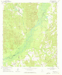
1970 Map of Romulus
USGS Topo · Published 1972About this map
The Sipsey River serpentines through this landscape where the borders of Tuscaloosa, Pickens, and Greene counties converge. The 1970 landscape is defined by the winding river valley and its numerous tributaries, including Webb Branch, Turkey Creek, and Engine Creek. An Old Railroad Grade cuts across the western hills, marking the path of former industry and transportation near Jena and Buhl.
Find a feature on this map
33 named features on this map. Tap any name to fly to it.
Don’t see what you’re looking for? This feature index may not catch every label — zoom into the map to look around manually.
Map Details
Editions of this 1970 Romulus Map
2 editions found
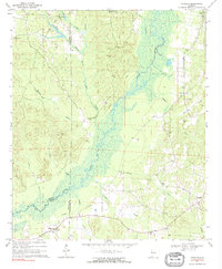
Other maps of this area

1924 · Tuscaloosa
USGS Topo · 1:62,500

1926 · Samantha
USGS Topo · 1:48,000

1926 · Tuscaloosa
USGS Topo · 1:62,500

1928 · Samantha
USGS Topo · 1:62,500

1953 · Birmingham
USGS Topo · 1:250,000

1956 · Birmingham
USGS Topo · 1:250,000

1957 · Birmingham
USGS Topo · 1:250,000

1967 · Gordo
USGS Topo · 1:24,000

1967 · Elrod
USGS Topo · 1:24,000
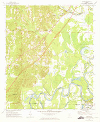
1969 · Fosters
USGS Topo · 1:24,000