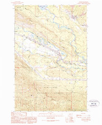
1989 Map of Ronald
USGS Topo · Published 1989About this map
Roslyn Cascade Mine No 4 and No 3 Mine anchor the northern landscape of this region, reflecting the significant coal mining heritage in the hills above Ronald and Roslyn. The topography is dominated by the steep ascent of Easton Ridge and Cle Elum Ridge, which frame the valley where the Yakima River and Cle Elum River meet. This confluence near Nelson and Bullfrog serves as a corridor for major transit and recreation, including the John Wayne Pioneer State Park Trail (Pack) which follows the river course.
Find a feature on this map
27 named features on this map. Tap any name to fly to it.
Don’t see what you’re looking for? This feature index may not catch every label — zoom into the map to look around manually.
Map Details
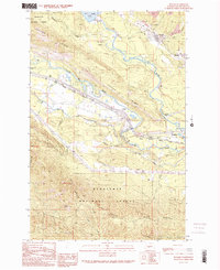
Editions of this 1989 Ronald Map
2 editions found
Other maps of this area

1897 · Mount Stuart
USGS Topo · 1:125,000

1901 · Snoqualmie Pass
USGS Topo · 1:125,000

1902 · Mount Stuart
USGS Topo · 1:125,000

1903 · Snoqualmie
USGS Topo · 1:125,000

1957 · Wenatchee
USGS Topo · 1:250,000

1958 · Cle Elum
USGS Topo · 1:62,500

1961 · Mount Stuart
USGS Topo · 1:62,500

1961 · Easton
USGS Topo · 1:62,500

1961 · Kachess Lake
USGS Topo · 1:62,500

1975 · Snoqualmie Pass
USGS Topo · 1:100,000