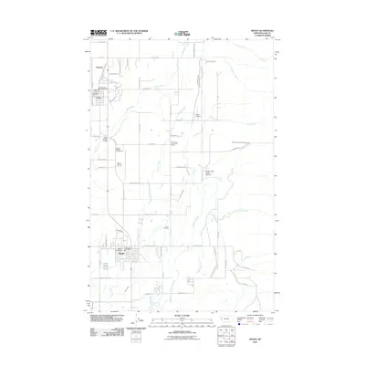
2011 Map of Ronan
USGS Topo · Published 2011About this map
Ronan and Pablo anchor this 2011 survey of Lake County, Montana, situated in an area defined by complex water management and the foothills of the Mission Mountains. The landscape is interconnected by an extensive irrigation network including the Ronan A Canal, Ronan B Canal, and Pablo Feeder Canal, which support the agricultural tracts between the settlements. These man-made waterways contrast with the natural drainages of North Crow Creek and Middle Crow Creek flowing from the eastern highlands toward the valley floor.
Find a feature on this map
67 named features on this map. Tap any name to fly to it.
Don’t see what you’re looking for? This feature index may not catch every label — zoom into the map to look around manually.
Map Details
Editions of this 2011 Ronan Map
This is the sole edition of this map. No revisions or reprints were ever made.
Other maps of this area
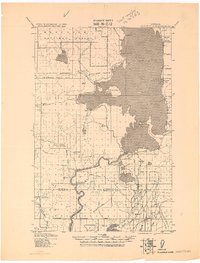
1920 · Flathead Lake
USGS Topo · 1:125,000
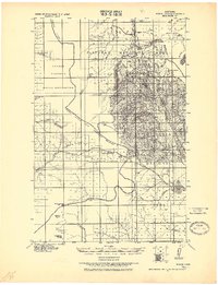
1921 · Elbow Lake
USGS Topo · 1:125,000
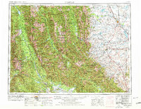
1955 · Choteau
USGS Topo · 1:250,000
1956 · Wallace
USGS Topo · 1:250,000
1957 · Choteau
USGS Topo · 1:250,000
1958 · Choteau
USGS Topo · 1:250,000
1960 · Wallace
USGS Topo · 1:250,000
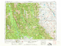
1962 · Choteau
USGS Topo · 1:250,000
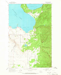
1964 · East Bay
USGS Topo · 1:24,000
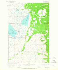
1964 · Fort Connah
USGS Topo · 1:24,000