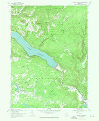
1969 Map of Rondout Reservoir
USGS Topo · Published 1971About this map
Rondout Reservoir dominates this landscape on the border of Sullivan Co and Ulster Co, where the massive Merriman Dam regulates the flow of Rondout Creek. The map documents a critical piece of infrastructure, the Delaware Aqueduct, which channels water toward the city from these Catskill highlands. Settlement patterns are concentrated in small hamlets like Ulster Heights and Lackawack, while much of the surrounding terrain is preserved within the Catskill State Park and State Forest Preserve. Notable local landmarks include a Covered Bridge north of the reservoir and the Furman Cem located along the northern shore. The network of winding mountain passages like Lackawack Hill Road and Irish Cape Road connects the valley floor to high peaks such as East Mountain, reflecting a remote region defined by its timbered slopes and protected watersheds.
Find a feature on this map
51 named features on this map. Tap any name to fly to it.
Don’t see what you’re looking for? This feature index may not catch every label — zoom into the map to look around manually.
Map Details
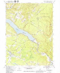
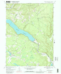
Editions of this 1969 Rondout Reservoir Map
3 editions found
Other maps of this area

1903 · Slide Mountain
USGS Topo · 1:62,500

1904 · Ellenville
USGS Topo · 1:62,500

1905 · Slide Mountain
USGS Topo · 1:62,500

1906 · Ellenville
USGS Topo · 1:62,500

1909 · Monticello
USGS Topo · 1:62,500

1910 · Neversink
USGS Topo · 1:62,500

1911 · Monticello
USGS Topo · 1:62,500

1942 · West Shokan
USGS Topo · 1:24,000

1942 · Neversink
USGS Topo · 1:62,500

1942 · Lackawack
USGS Topo · 1:24,000