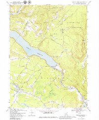
1969 Map of Rondout Reservoir
USGS Topo · Published 1979About this map
Rondout Reservoir dominates this Catskill landscape, held back by the Merriman Dam near Lackawack. The terrain is defined by the sharp transition from the State Forest Preserve and Catskill State Park highlands to the managed water systems of the mid-twentieth century. Traces of older rural life persist through small settlements like Ulster Heights and Sholam, alongside family landmarks such as the Furman Cem. The infrastructure of the era is evident in the Delaware Aqueduct and the Spillway Elev 840, which transformed the valley of Rondout Creek. Away from the water, the map documents a network of local thoroughfares like Spook Hole Road and Diamond Road, connecting scattered hamlets including Potterville and Yagerville amidst a landscape of swamps and secondary peaks like East Mountain.
Find a feature on this map
58 named features on this map. Tap any name to fly to it.
Don’t see what you’re looking for? This feature index may not catch every label — zoom into the map to look around manually.
Map Details
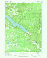
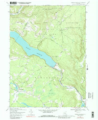
Editions of this 1969 Rondout Reservoir Map
3 editions found
Other maps of this area

1903 · Slide Mountain
USGS Topo · 1:62,500

1904 · Ellenville
USGS Topo · 1:62,500

1905 · Slide Mountain
USGS Topo · 1:62,500

1906 · Ellenville
USGS Topo · 1:62,500

1909 · Monticello
USGS Topo · 1:62,500

1910 · Neversink
USGS Topo · 1:62,500

1911 · Monticello
USGS Topo · 1:62,500

1942 · West Shokan
USGS Topo · 1:24,000

1942 · Neversink
USGS Topo · 1:62,500

1942 · Lackawack
USGS Topo · 1:24,000