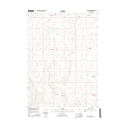
2015 Map of Rongis Reservoir
USGS Topo · Published 2015About this map
Chimney Rock stands as a prominent landmark in this high-desert landscape of Fremont County, where water management is the primary imprint of human engineering. The geography is defined by a network of drainage features and catchments, most notably the namesake Rongis Reservoir and the Signor Reservoir system. These water bodies, including Upper Signor Reservoir and Logan Reservoir, are tied to the seasonal flow through Signor Draw and Logan Gulch. The terrain is characterized by the long, elevated spine of Signor Ridge and the dissecting path of West Fork Horseshoe Draw. This 2015 survey illustrates how traditional ranching and water rights continue to shape the land use patterns of central Wyoming, maintaining a sparse but highly organized infrastructure of springs and reservoirs like Peralta Spring across the arid basin.
Find a feature on this map
16 named features on this map. Tap any name to fly to it.
Don’t see what you’re looking for? This feature index may not catch every label — zoom into the map to look around manually.
Map Details
Editions of this 2015 Rongis Reservoir Map
This is the sole edition of this map. No revisions or reprints were ever made.
Other maps of this area

1952 · Tin Cup Mountain
USGS Topo · 1:24,000

1952 · Muskrat Basin
USGS Topo · 1:24,000

1952 · Rongis Reservoir SE
USGS Topo · 1:24,000

1952 · Double Butte
USGS Topo · 1:24,000

1952 · Rongis Reservoir
USGS Topo · 1:24,000

1952 · Butte Well
USGS Topo · 1:24,000

1953 · Blue Gulch
USGS Topo · 1:24,000

1953 · Elkhorn Springs
USGS Topo · 1:24,000

1953 · Campbell Ridge
USGS Topo · 1:24,000

1955 · Lander
USGS Topo · 1:250,000