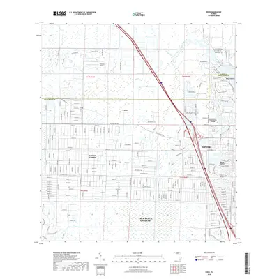
2018 Map of Rood
USGS Topo · Published 2018About this map
The Loxahatchee River and its various tributaries, including the Southwest Fork Loxahatchee River and Kitching Cr, define the eastern boundary of this landscape as it transitions from coastal development to rural tracts. In the west, the expansive residential grid of Jupiter Farms demonstrates the region's late 20th-century growth patterns, characterized by large lots and a dense network of local roads. The map captures a moment where the intensive suburban footprints of Jupiter, Tequesta, and Palm Beach Gardens meet the preserved wetlands and waterways to the north.
Find a feature on this map
20 named features on this map. Tap any name to fly to it.
Don’t see what you’re looking for? This feature index may not catch every label — zoom into the map to look around manually.
Map Details
Editions of this 2018 Rood Map
This is the sole edition of this map. No revisions or reprints were ever made.
Other maps of this area

1945 · Delta
USGS Topo · 1:24,000

1946 · Riviera Beach
USGS Topo · 1:24,000

1948 · Rood
USGS Topo · 1:24,000

1948 · Gomez
USGS Topo · 1:24,000

1948 · Hobe Sound
USGS Topo · 1:24,000

1948 · Jupiter
USGS Topo · 1:24,000

1949 · Rood
USGS Topo · 1:24,000

1949 · Gomez
USGS Topo · 1:24,000

1949 · Riviera Beach
USGS Topo · 1:24,000

1949 · Hobe Sound
USGS Topo · 1:24,000