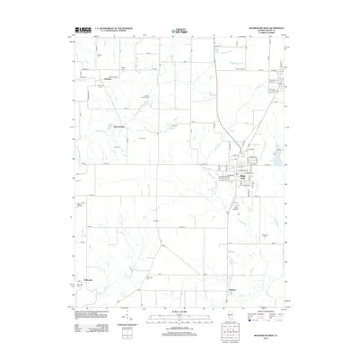
2012 Map of Roodhouse West
USGS Topo · Published 2012About this map
White Hall serves as the primary hub of this west-central Illinois landscape, where the town's street grid meets a countryside punctuated by dozens of ancestral burial sites. This 2012 survey reveals a dense network of family-named and community cemeteries, from the Johnson Burial Ground in the north to the White Hall Cem and the Veterans of Foreign Wars Memorial Cem. The terrain is defined by the winding course of Apple Creek and its many tributaries, including Hurricane Creek and Seminary Creek. Smaller settlements like Patterson and Belltown anchor the rural corners, while the former rail siding at Hanks Station points to the area's agricultural transit history. To the east, the White Hall Reservoir provides a distinct water feature in an otherwise strictly surveyed agricultural grid.
Find a feature on this map
95 named features on this map. Tap any name to fly to it.
Don’t see what you’re looking for? This feature index may not catch every label — zoom into the map to look around manually.
Map Details
Editions of this 2012 Roodhouse West Map
This is the sole edition of this map. No revisions or reprints were ever made.
Other maps of this area

1924 · Winchester
USGS Topo · 1:48,000

1924 · Roodhouse
USGS Topo · 1:62,500

1924 · Griggsville
USGS Topo · 1:62,500

1926 · Griggsville
USGS Topo · 1:62,500

1926 · Winchester
USGS Topo · 1:62,500

1926 · Roodhouse
USGS Topo · 1:62,500

1930 · Pearl
USGS Topo · 1:62,500

1948 · Quincy
USGS Topo · 1:250,000

1950 · Pearl
USGS Topo · 1:62,500

1956 · Quincy
USGS Topo · 1:250,000