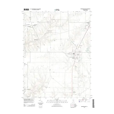
2015 Map of Roodhouse West
USGS Topo · Published 2015About this map
White Hall serves as the primary urban center of this Greene County landscape, situated near the intersection of several regional corridors. The town's civic and memorial history is documented through sites like the White Hall Cem and the Veterans of Foreign Wars Memorial Cem, while the White Hall Reservoir marks the eastern edge of the community. Surrounding the town, a network of smaller rural settlements including Patterson, Walkerville, and Belltown are connected by a grid of county roads and established routes such as Walkerville Blacktop.
Find a feature on this map
57 named features on this map. Tap any name to fly to it.
Don’t see what you’re looking for? This feature index may not catch every label — zoom into the map to look around manually.
Map Details
Editions of this 2015 Roodhouse West Map
This is the sole edition of this map. No revisions or reprints were ever made.
Other maps of this area

1924 · Winchester
USGS Topo · 1:48,000

1924 · Roodhouse
USGS Topo · 1:62,500

1924 · Griggsville
USGS Topo · 1:62,500

1926 · Griggsville
USGS Topo · 1:62,500

1926 · Winchester
USGS Topo · 1:62,500

1926 · Roodhouse
USGS Topo · 1:62,500

1930 · Pearl
USGS Topo · 1:62,500

1948 · Quincy
USGS Topo · 1:250,000

1950 · Pearl
USGS Topo · 1:62,500

1956 · Quincy
USGS Topo · 1:250,000