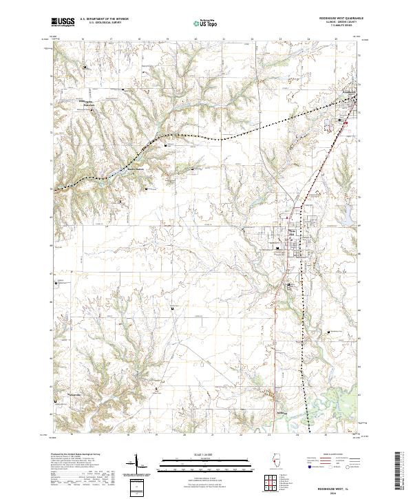
2024 Map of Roodhouse West
USGS Topo · Published 2024About this map
White Hall and Roodhouse anchor this Greene County landscape, where the prairie gives way to the winding drainage systems of Hurricane Creek and Apple Creek. The map reveals a high density of rural cemeteries, such as Pine Tree Cem and William Wood Cem, which offer significant value for genealogists tracing family histories in the vicinity of Wilmington and Patterson. The layout of the region is defined by these small clusters of settlement and a grid of rural routes like Whitehall St and Walkervill Blacktop.
Find a feature on this map
59 named features on this map. Tap any name to fly to it.
Don’t see what you’re looking for? This feature index may not catch every label — zoom into the map to look around manually.
Map Details
Editions of this 2024 Roodhouse West Map
This is the sole edition of this map. No revisions or reprints were ever made.
Historical Maps of Patterson Through Time
12 maps found
1980 Pearl East
Greene County, IL
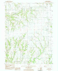
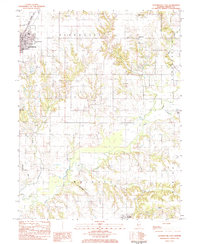
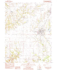
1983 Athensville
Greene County, IL
1983 Boyer Creek
Greene County, IL
1983 Daum
Greene County, IL
1983 Roodhouse East
Greene County, IL
1983 Roodhouse West
Greene County, IL
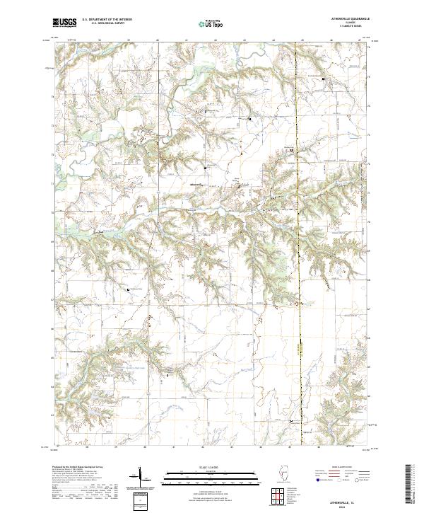
2024 Athensville
Greene County, IL
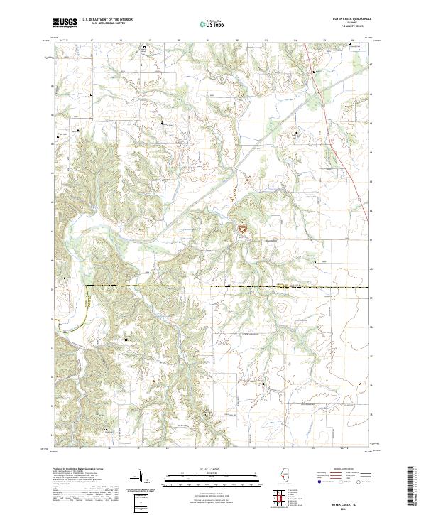
2024 Boyer Creek
Greene County, IL
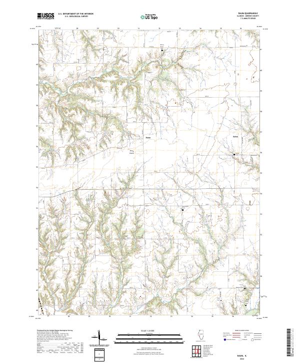
2024 Daum
Greene County, IL
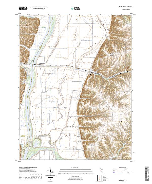
2024 Pearl East
Greene County, IL
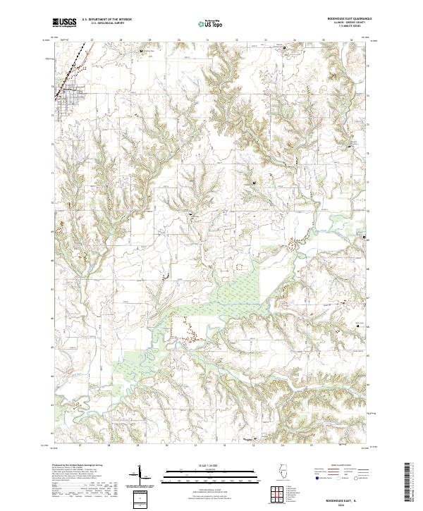
2024 Roodhouse East
Greene County, IL
2024 Roodhouse West
Greene County, IL