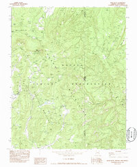
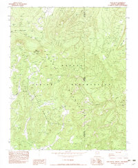
1982 Map of Roof Butte
USGS Topo · Published 1986About this map
Chuska Mountains terrain dominates this survey of the high plateau country within the Navajo Indian Reservation, straddling the border of Apache and San Juan counties. The landscape is defined by the prominent peak of Roof Butte, which serves as a technological anchor for the area with the Roof Butte Radio Facility. This 1982 map records a period of industrial activity in the high desert, evidenced by the Dineh Bi Keyah Oil Field and scattered resource extraction points such as the Enos Johnson Mine and various drill holes.
Find a feature on this map
17 named features on this map. Tap any name to fly to it.
Don’t see what you’re looking for? This feature index may not catch every label — zoom into the map to look around manually.
Map Details
Editions of this 1982 Roof Butte Map
2 editions found
Other maps of this area

1889 · Chaco
USGS Topo · 1:250,000

1892 · Chaco
USGS Topo · 1:250,000

1892 · Canyon De Chelly
USGS Topo · 1:250,000

1934 · Ship Rock
USGS Topo · 1:62,500

1937 · Ship Rock
USGS Topo · 1:62,500

1953 · Sanostee
USGS Topo · 1:62,500

1953 · Redrock Valley SE
USGS Topo · 1:24,000

1953 · Redrock Valley SW
USGS Topo · 1:24,000

1953 · Redrock Valley
USGS Topo · 1:62,500

1954 · Shiprock
USGS Topo · 1:250,000