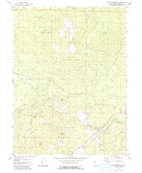
1980 Map of Roop Mountain
USGS Topo · Published 1980About this map
Lassen National Forest terrain dominates this 1980 survey, characterized by prominent volcanic peaks and a complex network of high-altitude water sources. High points like Roop Mountain, Worley Mtn, and Fredonyer Butte define the topography, while the Susan River flows through the southern portion of the quadrangle. The map reveals a landscape managed for both preservation and utility, evidenced by the proximity of the Hog Flat Reservoir to various working sites.
Find a feature on this map
22 named features on this map. Tap any name to fly to it.
Don’t see what you’re looking for? This feature index may not catch every label — zoom into the map to look around manually.
Map Details
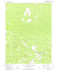
Editions of this 1980 Roop Mountain Map
2 editions found
Other maps of this area

1886 · Honey Lake
USGS Topo · 1:250,000

1891 · Honey Lake
USGS Topo · 1:250,000

1893 · Honey Lake
USGS Topo · 1:250,000

1954 · Susanville
USGS Topo · 1:62,500

1954 · Fredonyer Peak
USGS Topo · 1:62,500

1955 · Westwood
USGS Topo · 1:62,500

1955 · Westwood
USGS Topo · 1:250,000

1956 · Antelope Mtn
USGS Topo · 1:62,500

1958 · Westwood
USGS Topo · 1:250,000

1959 · Westwood
USGS Topo · 1:250,000