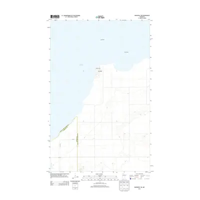
2013 Map of Roosevelt NE
USGS Topo · Published 2013About this map
Arnesén sits prominently on the shoreline of Lake of the Woods, marking a transition between the open waters of the lake and the low-lying terrain of northern Minnesota. This 2013 survey illustrates the northern boundary where Roseau County and Lake of the Woods County meet. The landscape is characterized by its proximity to the water, featuring landmark offshore points such as Gull Rock and Twin Rocks to the north. Inland, the grid-like road network, including 350th St and 690th Ave, provides access to the coastal area near Rocky Point. The drainage of Willow Cr in the southwest corner highlights the hydrological patterns of this low-elevation region. The map serves as a contemporary record of the small coastal settlement and the surrounding marshy and wooded landscape during the early 21st century.
Find a feature on this map
11 named features on this map. Tap any name to fly to it.
Don’t see what you’re looking for? This feature index may not catch every label — zoom into the map to look around manually.
Map Details
Editions of this 2013 Roosevelt NE Map
This is the sole edition of this map. No revisions or reprints were ever made.
Other maps of this area

1918 · Buffalo Bay
USGS Topo · 1:62,500

1918 · Roosevelt
USGS Topo · 1:62,500

1918 · Williams
USGS Topo · 1:62,500

1943 · Roosevelt
USGS Topo · 1:62,500

1954 · Roseau
USGS Topo · 1:250,000

1957 · Roseau
USGS Topo · 1:250,000

1958 · Roseau
USGS Topo · 1:250,000

1963 · Kenora
USGS Topo · 1:250,000

1967 · Williams
USGS Topo · 1:24,000

1967 · Roosevelt NW
USGS Topo · 1:24,000