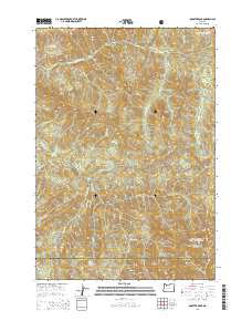
2014 Map of Rooster Rock
USGS Topo · Published 2014About this map
The Molalla River carves a central path through this section of the Cascade Range, marking the boundary between the Mount Hood National Forest and the Willamette National Forest. This 2014 survey documents a landscape defined by significant elevation changes and numerous watercourses, including Table Rock Fork and Dungeon Cr. Historically significant landmarks such as The Dungeon and Rooster Rock stand out alongside named peaks like Nohorn Butte and Burnt Mtn. The map traces the transition from Clackamas County into Marion County, showing the established forest road network including Upper Molalla Rd and Copper Creek Rd. These routes provide access to the drainages of Mining Iron Cr and Poopane Cr, reflecting the region's enduring character as a managed timber and watershed resource.
Find a feature on this map
35 named features on this map. Tap any name to fly to it.
Don’t see what you’re looking for? This feature index may not catch every label — zoom into the map to look around manually.
Map Details
Editions of this 2014 Rooster Rock Map
This is the sole edition of this map. No revisions or reprints were ever made.
Other maps of this area

1916 · Estacada
USGS Topo · 1:125,000

1929 · Mill City
USGS Topo · 1:125,000

1948 · Vancouver
USGS Topo · 1:250,000

1950 · Vancouver
USGS Topo · 1:250,000

1950 · Vancouver
USGS Topo · 1:250,000

1953 · Salem
USGS Topo · 1:250,000

1954 · Salem
USGS Topo · 1:250,000

1955 · Colton
USGS Topo · 1:62,500

1955 · Mill City
USGS Topo · 1:62,500

1956 · Fish Creek Mtn
USGS Topo · 1:62,500