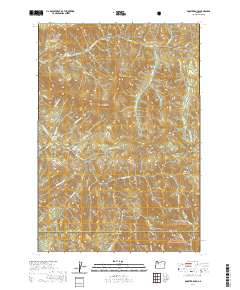
2020 Map of Rooster Rock
USGS Topo · Published 2020About this map
Rooster Rock and Table Rock dominate this high-elevation landscape where the Mount Hood National Forest meets the Willamette National Forest. The topography is defined by the deep incisions of the Molalla River and its numerous tributaries, including the curiously named Poopanaky Cr and Scorpion Cr. A single major artery, Table Rock Rd, provides access into this timbered backcountry, tracing the northern ridges above Table Rock Fork.
Find a feature on this map
37 named features on this map. Tap any name to fly to it.
Don’t see what you’re looking for? This feature index may not catch every label — zoom into the map to look around manually.
Map Details
Editions of this 2020 Rooster Rock Map
This is the sole edition of this map. No revisions or reprints were ever made.
Other maps of this area

1916 · Estacada
USGS Topo · 1:125,000

1929 · Mill City
USGS Topo · 1:125,000

1948 · Vancouver
USGS Topo · 1:250,000

1950 · Vancouver
USGS Topo · 1:250,000

1950 · Vancouver
USGS Topo · 1:250,000

1953 · Salem
USGS Topo · 1:250,000

1954 · Salem
USGS Topo · 1:250,000

1955 · Colton
USGS Topo · 1:62,500

1955 · Mill City
USGS Topo · 1:62,500

1956 · Fish Creek Mtn
USGS Topo · 1:62,500