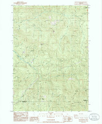
1985 Map of Rooster Rock
USGS Topo · Published 1985About this map
The Molalla River carves through the central drainage of this 1980s landscape, which marks the intersection of three major protected areas: the Mt Hood National Forest, Santiam State Forest, and Willamette National Forest. This remote section of the Oregon Cascades is defined by its topographic extremes, anchored by notable summits like Table Rock, Rooster Rock, and Ogle Mountain.
Find a feature on this map
35 named features on this map. Tap any name to fly to it.
Don’t see what you’re looking for? This feature index may not catch every label — zoom into the map to look around manually.
Map Details
Editions of this 1985 Rooster Rock Map
This is the sole edition of this map. No revisions or reprints were ever made.
Other maps of this area

1916 · Estacada
USGS Topo · 1:125,000

1929 · Mill City
USGS Topo · 1:125,000

1948 · Vancouver
USGS Topo · 1:250,000

1950 · Vancouver
USGS Topo · 1:250,000

1950 · Vancouver
USGS Topo · 1:250,000

1953 · Salem
USGS Topo · 1:250,000

1954 · Salem
USGS Topo · 1:250,000

1955 · Colton
USGS Topo · 1:62,500

1955 · Mill City
USGS Topo · 1:62,500

1956 · Fish Creek Mtn
USGS Topo · 1:62,500