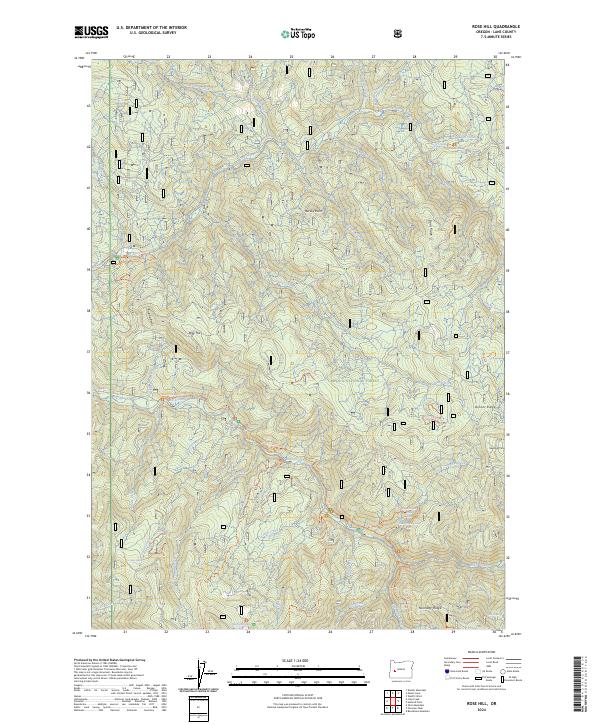
2024 Map of Rose Hill
USGS Topo · Published 2024About this map
Umpqua National Forest defines the landscape of this high-elevation terrain in Lane County, where a dense network of drainages feeds into Brice Creek. The map documents a geography shaped by water and timber, notably featuring significant cataracts such as Spirit Falls and Lower Trestle Creek Falls. While the region is characterized by steep ridges like Doris Ridge and Noonday Ridge, human access is preserved through a series of specialized paths including the Swordfern Trl and the historical Noonday Wagon Road Trl.
Find a feature on this map
44 named features on this map. Tap any name to fly to it.
Don’t see what you’re looking for? This feature index may not catch every label — zoom into the map to look around manually.
Map Details
Editions of this 2024 Rose Hill Map
This is the sole edition of this map. No revisions or reprints were ever made.
Other maps of this area

1935 · Lowell
USGS Topo · 1:96,000

1942 · Lowell
USGS Topo · 1:125,000

1955 · Hardesty Mtn
USGS Topo · 1:62,500

1955 · Fairview Peak
USGS Topo · 1:62,500

1955 · Culp Creek
USGS Topo · 1:62,500

1955 · Lowell
USGS Topo · 1:62,500

1958 · Roseburg
USGS Topo · 1:250,000

1959 · Roseburg
USGS Topo · 1:250,000

1983 · Oakridge
USGS Topo · 1:100,000
1986 · Mount June
USGS Topo · 1:24,000