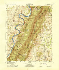
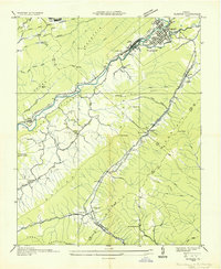
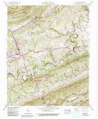
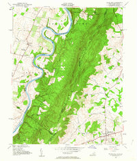
1944 Map of Rose Hill
USGS Topo · Published 1944This historical map portrays the area of Rose Hill in 1944, primarily covering Lee County as well as portions of Lee County and Kentucky. Featuring a scale of 1:31680, this map provides a highly detailed snapshot of the terrain, roads, buildings, counties, and historical landmarks in the Rose Hill region at the time. Published in 1944, it is the sole known edition of this map.
Map Details
Editions of this 1944 Rose Hill Map
This is the sole edition of this map. No revisions or reprints were ever made.
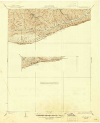
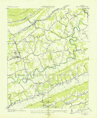
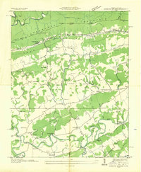
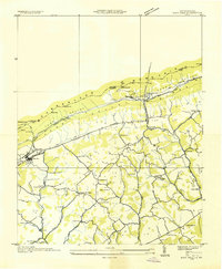
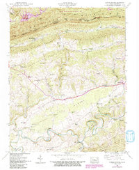
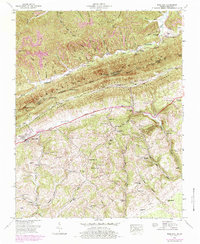
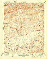
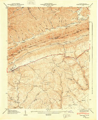
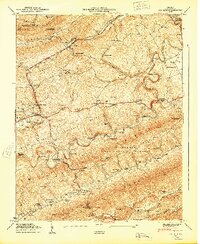
Historical Maps of Rose Hill Through Time
17 maps found
1932 Hagan
Lee County, VA
1935 Ben Hur
Lee County, VA
1935 Hubbard Springs
Lee County, VA
1935 Olinger
Lee County, VA
1935 Rose Hill
Lee County, VA
1944 Rose Hill
Lee County, VA
1946 Hubbard Springs
Lee County, VA
1946 Rose Hill
Lee County, VA
1947 Ben Hur
Lee County, VA
1947 Hubbard Springs
Lee County, VA
1948 Rose Hill
Lee County, VA
1949 Ben Hur
Lee County, VA
1953 Rose Hill
Lee County, VA
1976 Ben Hur
Lee County, VA
1976 Hubbard Springs
Lee County, VA
1976 Rose Hill
Lee County, VA

1976 Wheeler
Lee County, VA