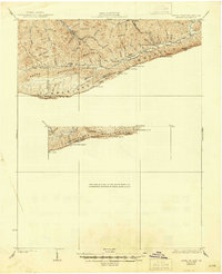
1932 Map of Hagan
USGS Topo · Published 1945About this map
The ridge-and-valley landscape of the Appalachian Highlands is defined here by the towering spine of Cumberland Mountain, which forms the boundary between Kentucky and Virginia. Mapping by Lee Morrison in the 1920s reveals a network of mountain settlements and family enterprises connected by gap-passes and creek branches. Along Martins Fork, local life centered around the Hensley Sch and Hensley Store, while further east, Poopers Store served residents near the Martins Fork River.
Find a feature on this map
59 named features on this map. Tap any name to fly to it.
Don’t see what you’re looking for? This feature index may not catch every label — zoom into the map to look around manually.
Map Details
Editions of this 1932 Hagan Map
3 editions found

Other maps of this area

1883 · Morristown
USGS Topo · 1:125,000

1886 · Cumberland Gap
USGS Topo · 1:125,000

1887 · Jonesville
USGS Topo · 1:125,000

1888 · Cumberland Gap
USGS Topo · 1:125,000

1891 · Cumberland Gap
USGS Topo · 1:125,000

1891 · Jonesville
USGS Topo · 1:125,000

1893 · Morristown
USGS Topo · 1:125,000

1895 · Morristown
USGS Topo · 1:125,000

1897 · Maynardville
USGS Topo · 1:125,000

1900 · Maynardville
USGS Topo · 1:125,000