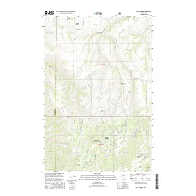
2017 Map of Rose Springs
USGS Topo · Published 2017About this map
Rose Springs and the northern reaches of the Umatilla National Forest dominate this landscape, where the plateau of Garfield County is carved into a series of dramatic ridges and canyons. The map reveals a land defined by water sources, with numerous named points such as Government Spring, Lanzie Spring, and Alder Thicket Spring providing vital points of reference in an otherwise high, arid environment. The transition from the agricultural lands near Tatman Mtn in the north to the forested drainage systems of the south is marked by an extensive network of Forest Service roads, including Nat For Dev Rd 040 and Nat For Dev Rd 080. Local landmarks like Abels Ridge and Stevens Ridge underscore the topographical complexity of the Blue Mountains' foothills. The presence of Hatten Well and Sawmill Spring suggests the area's historical reliance on these specific locations for livestock and forest management activities.
Find a feature on this map
70 named features on this map. Tap any name to fly to it.
Don’t see what you’re looking for? This feature index may not catch every label — zoom into the map to look around manually.
Map Details
Editions of this 2017 Rose Springs Map
This is the sole edition of this map. No revisions or reprints were ever made.
Other maps of this area

1937 · Pomeroy
USGS Topo · 1:96,000

1942 · Pomeroy
USGS Topo · 1:125,000

1943 · Peola
USGS Topo · 1:62,500

1943 · Saddle Butte
USGS Topo · 1:62,500

1946 · Saddle Butte
USGS Topo · 1:62,500

1946 · Peola
USGS Topo · 1:62,500

1955 · Pullman
USGS Topo · 1:250,000

1958 · Pullman
USGS Topo · 1:250,000

1967 · Rose Springs
USGS Topo · 1:24,000

1967 · Hopkins Ridge
USGS Topo · 1:24,000