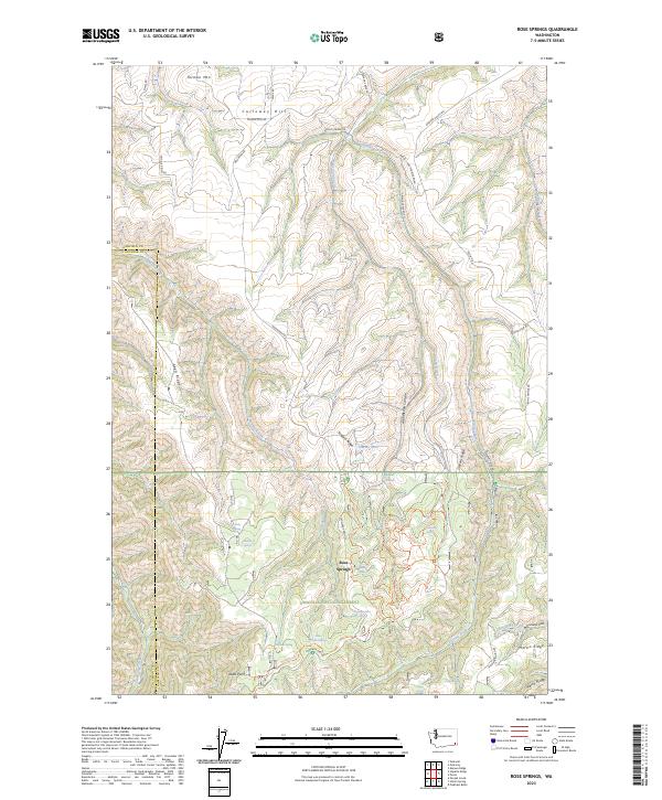
2023 Map of Rose Springs
USGS Topo · Published 2023About this map
Umatilla National Forest occupies the southern half of this landscape, where the Blue Mountains' complex topography is defined by high ridges and deep drainages. Significant natural water sources like Rose Spring, Oliphant Spring, and Alder Thicket Spring are scattered throughout the timbered terrain, supporting the area's forest management and local wildlife. North of the forest boundary, the land transitions into a series of prominent elevations including Tatman Mtn and Calloway Hill, bisected by the winding courses of Pataha Creek and Tumalum Creek.
Find a feature on this map
54 named features on this map. Tap any name to fly to it.
Don’t see what you’re looking for? This feature index may not catch every label — zoom into the map to look around manually.
Map Details
Editions of this 2023 Rose Springs Map
This is the sole edition of this map. No revisions or reprints were ever made.
Other maps of this area

1937 · Pomeroy
USGS Topo · 1:96,000

1942 · Pomeroy
USGS Topo · 1:125,000

1943 · Peola
USGS Topo · 1:62,500

1943 · Saddle Butte
USGS Topo · 1:62,500

1946 · Saddle Butte
USGS Topo · 1:62,500

1946 · Peola
USGS Topo · 1:62,500

1955 · Pullman
USGS Topo · 1:250,000

1958 · Pullman
USGS Topo · 1:250,000

1967 · Rose Springs
USGS Topo · 1:24,000

1967 · Hopkins Ridge
USGS Topo · 1:24,000