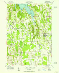
1953 Map of Rose
USGS Topo · Published 1955About this map
Sodus Bay and the shoreline of Lake Ontario anchor the northern reaches of this mid-century Wayne County landscape. The topography captures a transition from the indented waterfront at Nicholas Pt and Willigs Pt to the fertile agricultural interior. Inland, the New York Central railroad corridor connects the villages of Alton, North Rose, and Rose, serving as the primary commercial artery for the region's orchards and farms. Extensive wetlands like Huckleberry Swamp and Black Brook define the low-lying drainages between drumlins, while local history is marked by quiet locations such as Rose Cem and Barton Cem. Roads like Shaker Road and Brick Church Rd reveal the historical settlement patterns of smaller hamlets including South Sodus and Wayne Center, showing the area's development before modern suburban expansion.
Find a feature on this map
49 named features on this map. Tap any name to fly to it.
Don’t see what you’re looking for? This feature index may not catch every label — zoom into the map to look around manually.
Map Details
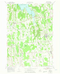
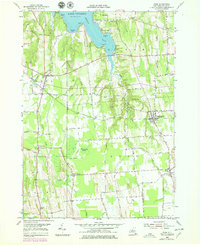
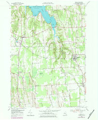
Editions of this 1953 Rose Map
4 editions found
Other maps of this area

1899 · Palmyra
USGS Topo · 1:62,500

1902 · Sodus Bay
USGS Topo · 1:62,500

1902 · Pultneyville
USGS Topo · 1:62,500

1902 · Clyde
USGS Topo · 1:62,500

1902 · Palmyra
USGS Topo · 1:62,500

1943 · Lyons
USGS Topo · 1:31,680

1943 · Sodus Point
USGS Topo · 1:31,680

1943 · Savannah
USGS Topo · 1:31,680

1943 · Sodus
USGS Topo · 1:31,680

1943 · Wolcott
USGS Topo · 1:31,680