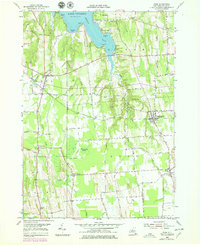
1953 Map of Rose
USGS Topo · Published 1979About this map
Sodus Bay and the shoreline of Lake Ontario dominate the northern landscape of this Wayne County survey, revealing a region defined by its complex drainage and agricultural settlement. Numerous points such as Nicholas Pt, Willigs Pt, and Grassy Pt reach into the bay, while the southern terrain is marked by the expansive Huckleberry Swamp and the headwaters of Sodus Creek. Small village centers and crossroads like North Rose, South Sodus, and Wayne Center are connected by a dense network of early thoroughfares, including Champlin Road and Lime Kiln Rd. The map documents a period of transition, with updates showing a Landing Strip near Glenmark and evolving land use patterns around Lummisville and Resort, providing a detailed look at the rural character of the Ontario lakefront before later modern development altered the local geography.
Find a feature on this map
63 named features on this map. Tap any name to fly to it.
Don’t see what you’re looking for? This feature index may not catch every label — zoom into the map to look around manually.
Map Details
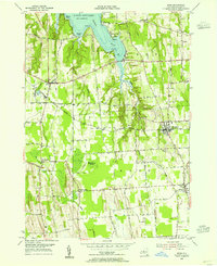
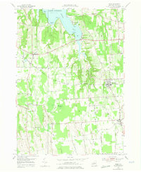
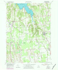
Editions of this 1953 Rose Map
4 editions found
Other maps of this area

1899 · Palmyra
USGS Topo · 1:62,500

1902 · Sodus Bay
USGS Topo · 1:62,500

1902 · Pultneyville
USGS Topo · 1:62,500

1902 · Clyde
USGS Topo · 1:62,500

1902 · Palmyra
USGS Topo · 1:62,500

1943 · Lyons
USGS Topo · 1:31,680

1943 · Sodus Point
USGS Topo · 1:31,680

1943 · Savannah
USGS Topo · 1:31,680

1943 · Sodus
USGS Topo · 1:31,680

1943 · Wolcott
USGS Topo · 1:31,680