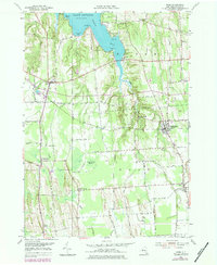
1953 Map of Rose
USGS Topo · Published 1984About this map
Sodus Bay and the shoreline of Lake Ontario dominate the northern edge of this mid-century Wayne County landscape. The topography transitions from the inlets of Briscoe Cove and Sawmill Cove into a series of distinctive north-south drumlins and valleys carved by First Creek, Second Creek, and Sodus Creek. These landforms dictate the settlement patterns of agricultural hubs like North Rose, Wayne Center, and South Sodus, where a dense network of country roads—such as Brick Church Rd and Schoolhouse Road—connects family farms to the central villages. The map reveals the local economy's reliance on both the water and the land, showing lakeside landmarks like Bonni Castle and Sunset View alongside interior features like the expansive Huckleberry Swamp. Researchers will find significant genealogical detail in the placement of the Rose Cem and Barton Cem.
Find a feature on this map
58 named features on this map. Tap any name to fly to it.
Don’t see what you’re looking for? This feature index may not catch every label — zoom into the map to look around manually.
Map Details
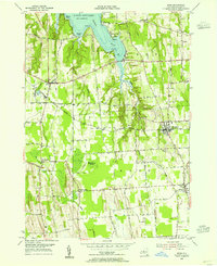
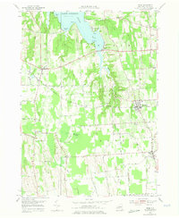
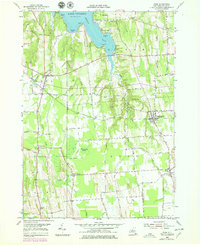
Editions of this 1953 Rose Map
4 editions found
Other maps of this area

1899 · Palmyra
USGS Topo · 1:62,500

1902 · Sodus Bay
USGS Topo · 1:62,500

1902 · Pultneyville
USGS Topo · 1:62,500

1902 · Clyde
USGS Topo · 1:62,500

1902 · Palmyra
USGS Topo · 1:62,500

1943 · Lyons
USGS Topo · 1:31,680

1943 · Sodus Point
USGS Topo · 1:31,680

1943 · Savannah
USGS Topo · 1:31,680

1943 · Sodus
USGS Topo · 1:31,680

1943 · Wolcott
USGS Topo · 1:31,680