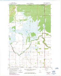
1966 Map of Roseau NE
USGS Topo · Published 1984About this map
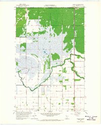
The Provencher District and Jadis township intersect along this northern border survey, where the Roseau River meanders toward the international boundary. A prominent Port of Entry U S Customs station marks the crossing between the United States and Canada, while the nearby Manitoba and Minnesota line defines the northern limit of the quadrangle. The terrain is characterized by low-lying wetland signatures, including a significant area labeled as Lakebed and the confluence of Sprague Creek with the main river channel. Local landmarks like the Townhall and a Gaging Station on the river suggest the civic and hydraulic management of this borderland area. To the northwest, Minnesota Hill provides a rare point of elevation amidst the expansive marshes and water-logged reaches of the Roseau basin.
Find a feature on this map
12 named features on this map. Tap any name to fly to it.
Don’t see what you’re looking for? This feature index may not catch every label — zoom into the map to look around manually.
Map Details
Editions of this 1966 Roseau NE Map
2 editions found
Other maps of this area

1918 · Goos
USGS Topo · 1:62,500

1918 · Roseau
USGS Topo · 1:62,500

1943 · Goos
USGS Topo · 1:62,500

1954 · Roseau
USGS Topo · 1:250,000

1957 · Roseau
USGS Topo · 1:250,000

1958 · Roseau
USGS Topo · 1:250,000

1963 · Kenora
USGS Topo · 1:250,000
1966 · Pinecreek
USGS Topo · 1:24,000
1966 · Fox
USGS Topo · 1:24,000

1966 · Salol NW
USGS Topo · 1:24,000