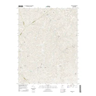
2014 Map of Rosedale
USGS Topo · Published 2014About this map
Rosedale serves as a central point in this network of West Virginia hollows and ridge-top settlements, located at the complex borders of Gilmer, Braxton, Calhoun, and Clay counties. The landscape is defined by its dendritic drainage pattern, where water bodies like Right Fork Steer Cr and Anthony Fork carve deep valleys between high ground such as Hamric Ridge and Boar Knob. Genealogists will find significant value in the documentation of family-named landmarks and local burial sites, including Miller Cem, Bourn Cem, and the Elmira Baptist Church Cem near the community of Elmira. Small, isolated settlements like Wilsie, Gip, Dingy, and Servia are connected by a web of county routes, such as Rosedale Rd and Mill Fork Rd, illustrating the persistence of rural West Virginia communities within the difficult terrain of the Appalachian Plateau.
Find a feature on this map
98 named features on this map. Tap any name to fly to it.
Don’t see what you’re looking for? This feature index may not catch every label — zoom into the map to look around manually.
Map Details
Editions of this 2014 Rosedale Map
This is the sole edition of this map. No revisions or reprints were ever made.
Other maps of this area

1893 · Sutton
USGS Topo · 1:125,000

1906 · Glenville
USGS Topo · 1:62,500

1906 · Otter
USGS Topo · 1:62,500

1907 · Otter
USGS Topo · 1:62,500

1907 · Arnoldsburg
USGS Topo · 1:62,500

1908 · Gassaway
USGS Topo · 1:48,000

1910 · Gassaway
USGS Topo · 1:62,500

1925 · Glenville
USGS Topo · 1:62,500

1925 · Arnoldsburg
USGS Topo · 1:62,500

1927 · Arnoldsburg
USGS Topo · 1:62,500